The Corn Palace in Mitchell, South Dakota, is one of America’s corniest attraction. The palace is a regular building built of out of reinforced concrete and bricks, but every spring, during the time of harvest, its exterior is completely covered with thousands of bushels of native South Dakota corn, grain and grasses that are arranged into large murals. Each year there is a different theme, and the palace is decorated accordingly. Hundreds of thousands of tourists come to see the crop art every year.
At other times of the year, to sustain the flow of tourist and revenue, “the World’s Only Corn Palace” —as it likes to call itself, hold popular events such as the Corn Palace Stampede Rodeo in July, the Corn Palace Festival in August and the Corn Palace Polka Festival in September. The Corn Palace also has an auditorium for touring celebrities and a sports arena for various school and college basketball teams.
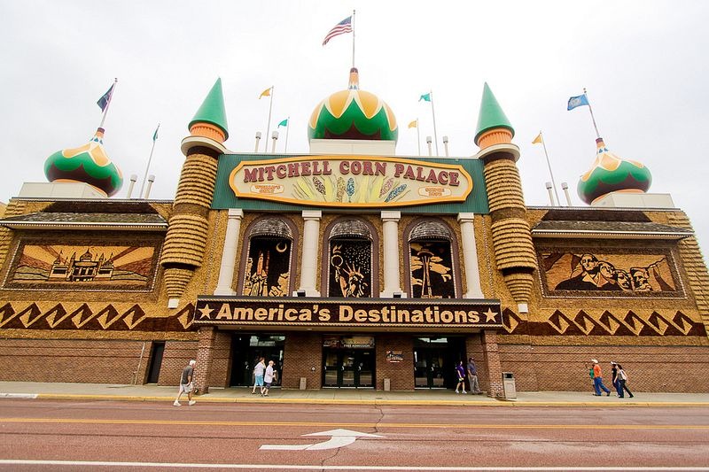
Photo credit: Matt Hintsa/Flickr
The original Corn Palace was built in 1892 as part of a six-day festival at the height of harvest season. It was a wooden castle structure built on donated land on Mitchell’s Main Street, whose exterior was decorated with corn. The idea was to showcase the rich soil of South Dakota and encourage people to settle in the area. The success of the Corn Palace and the annual festival encouraged the townsfolk to invest in a better building in 1905, but soon this building became too small for Mitchell’s growing population. A more permanent structure, replacing a second corn palace, was erected and opened in time for the 1921 festival. This is the present Corn Palace, but the Russian-style onion domes and Moorish minarets were added later in 1937.
Every year, local artists redecorate the Palace with naturally colored corn and other grains and native grasses such as flax, rye, wheat, oats, and millet as well as bromegrass, bluegrass, and straw. Thirteen different colors or shades of corn are available for artists to work on.
Besides the annual corn festival, the palace building is used for various events including exhibits, dances, stage shows, meetings, banquets, proms, graduations arena for Mitchell High School and Dakota Wesleyan University as well as district, regional and state basketball tournaments.
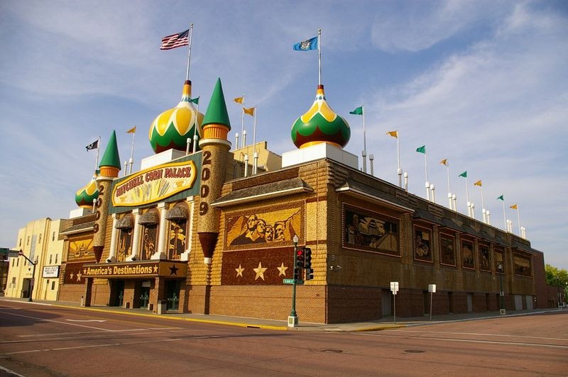
Photo credit: Mike Ault/Flickr
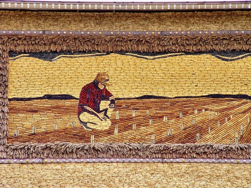
Photo credit: Scott Robinson/Flickr
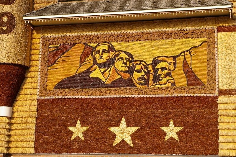
Photo credit: Mike Ault/Flickr
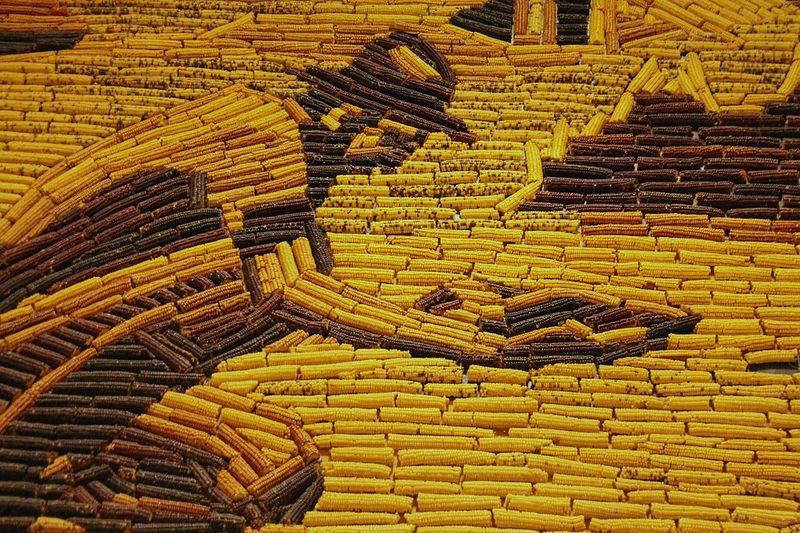
Photo credit: Robin Zebrowski/Flickr
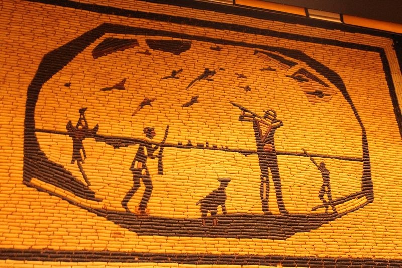
Photo credit: Robin Zebrowski/Flickr
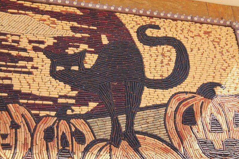
Photo credit: Robin Zebrowski/Flickr
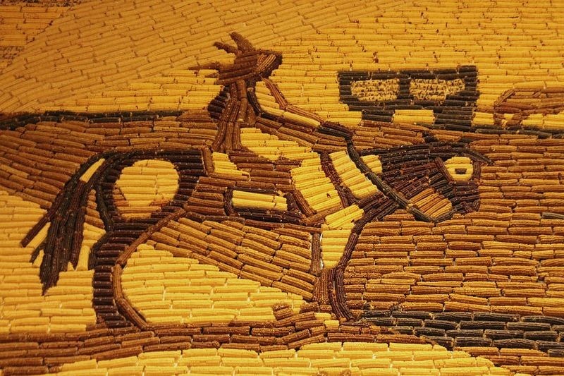
Photo credit: Robin Zebrowski/Flickr
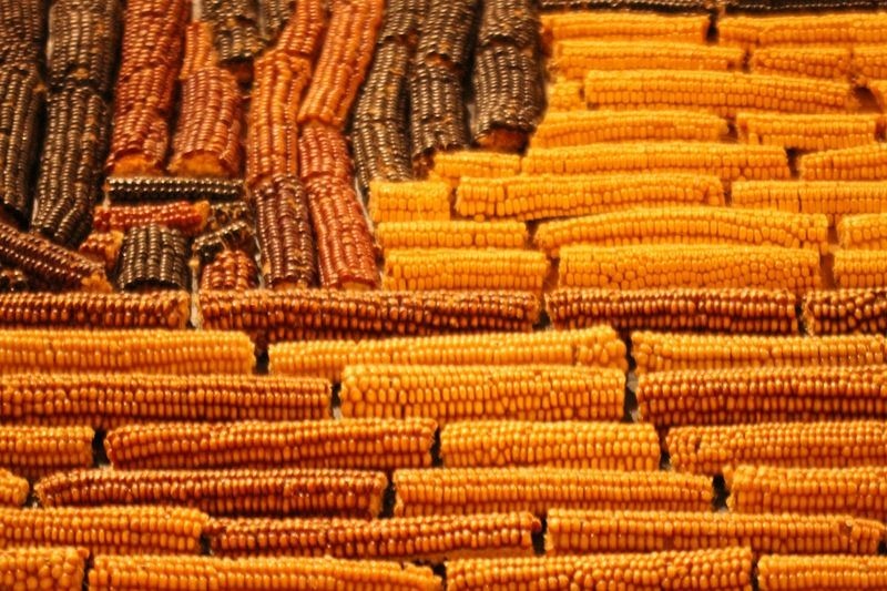
Photo credit: josephbergen/Flickr
Source……..www.amusingplanet.com
Natarajan